Water Quality
What is the Chain O’Lakes Watershed?
A watershed is the land area where rainfall and snowmelt drain into a common body of water. Because everything within the watershed is connected by water flow, activities on the land—such as development, landscaping, agriculture, and shoreline use—can influence water quality, habitat, and the health of the entire system.
The Chain O’Lakes Watershed is comprised of 15 lakes interconnected with the Fox River, and is part of the larger Upper Fox River basin that originates in Wisconsin. The drainage area of the Fox River, including upstream of the Chain, is approximately 1,200 square miles. The surface area of the lake system itself is more than 7,000 acres.

The Watershed-Based Plan
Because no formal watershed-based plan previously existed for the Chain O’Lakes watershed, the Fox Waterway Agency (FWA) initiated an effort to develop a comprehensive plan to guide water quality improvements. The goal of this initiative is to reduce the impacts of water pollution—particularly sediment and nutrient runoff—restore and protect lake health, and create meaningful opportunities for stakeholders to participate in the planning process.
The planning effort was designed to bring together stakeholders from multiple jurisdictions and with diverse interests to build a shared understanding of watershed conditions and priorities. By fostering collaboration and engagement, the plan aims to support the implementation of water quality improvement projects and programs that advance the goals and objectives identified for the watershed.
Throughout the process, the FWA collaborated with a wide range of partners, including public agencies, local governments, landowners, and private-sector professionals who have an interest in the health and future of the watershed.

Funding and Support
Development of the watershed plan was made possible through funding from the U.S. Environmental Protection Agency (EPA) through the Section 319 Nonpoint Source Pollution Program, administered by the Illinois Environmental Protection Agency. These grants support watershed planning and restoration projects that address pollution caused by stormwater runoff and other diffuse sources, helping communities protect their local water resources.

Watershed Plan Timeline
Initial
Assessment
2022 – 2024
Over the course of regular planning and education meetings, the Watershed Planning Committee and Stakeholders identified issues and opportunities, which included water quality, sedimentation, the need for education, and runoff.
Plan
Development
2024
The watershed planning committee generated 5 goals to address watershed stakeholder issues/concerns. Establishing these watershed goals allowed the committee to develop objectives and outcomes for each. The goals are central to the development of the watershed action plan.
Plan Implementation and Evaluation
2024-Present
Moving forward with projects, partnerships, and monitoring to improve watershed health over time. Goals are examined by evaluating their performance and progress.
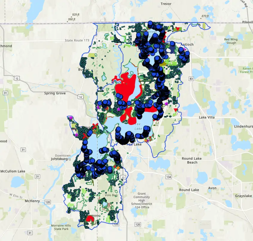
Watershed Project Map
The FWA Watershed Project Map is an interactive online mapping tool that displays potential and recommended watershed projects identified through the Chain O’Lakes Watershed Plan.
It allows users to zoom in on specific areas to see site‑specific recommendations for water quality improvements, sediment management, shoreline stabilization, habitat projects, and other action plan opportunities mapped across the watershed.
This map helps community members, stakeholders, and local partners explore where projects have been proposed and visualize how recommended activities are distributed throughout the landscape to support implementation of the watershed plan goals.
Resources
Simple Things You Can Do to Protect Our Watershed
Don’t use fertilizer that contains phosphorus. If you use a lawn service, insist they only [...]
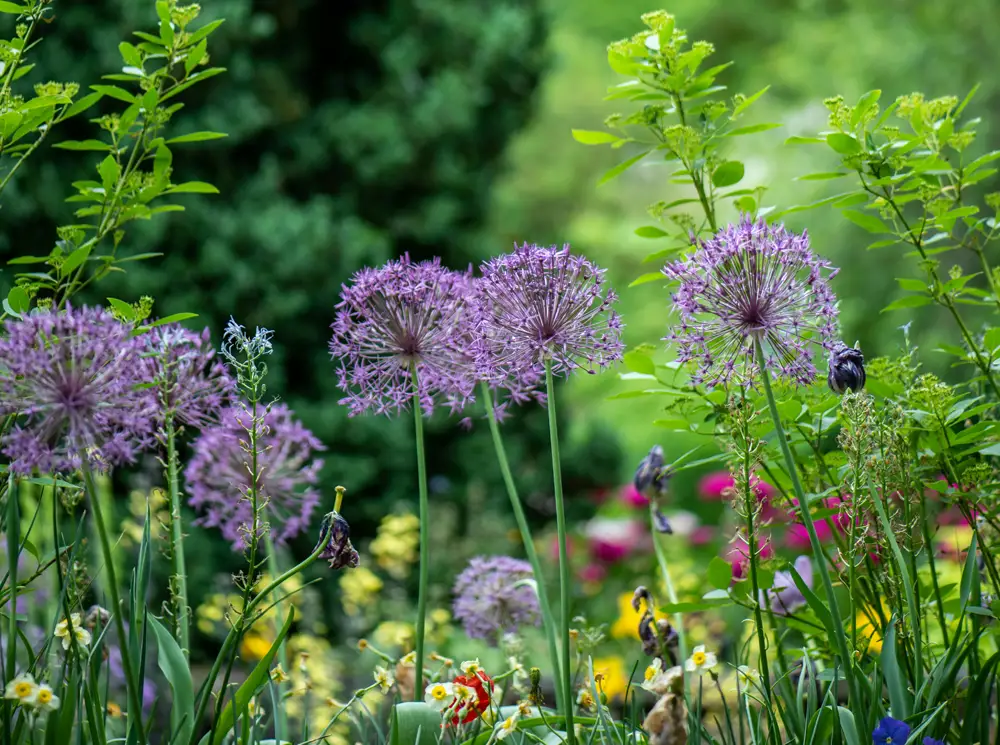
Shoreline Vegetation Guide
This guide walks you through the process of establishing a thriving native garden on your [...]
The Green Neighbor Guide
While there are myriad ways to be a Green Neighbor—some actions can be as [...]
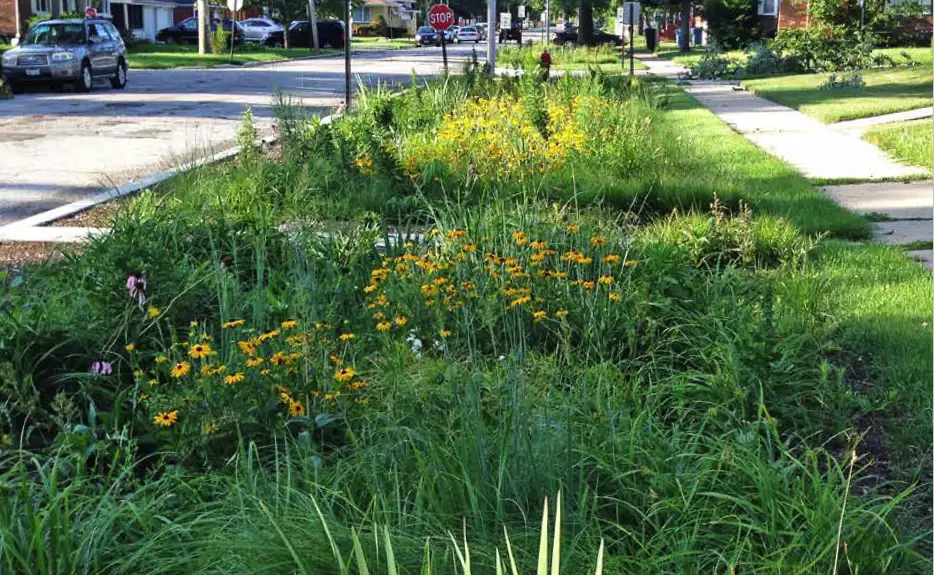
Rain Garden Manual For Homeowners
This Rain Garden Manual is a comprehensive resource designed to help homeowners, landowners, and community [...]